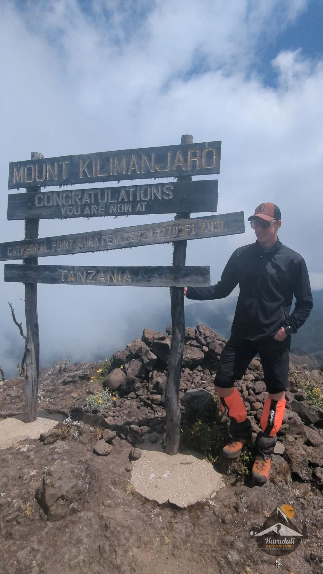
Mount Kilimanjaro is Africa’s highest peak and the world’s tallest free-standing mountain, rising 5,895 meters (19,341 feet) above sea level in northeastern Tanzania. Managed by the Kilimanjaro National Park Authority (KINAPA), this UNESCO World Heritage Site attracts over 50,000 trekkers every year.
Ecological Zones
Climbing Kilimanjaro is uniquely equivalent to walking from the equator to the North Pole in just a few days. The mountain spans five distinct ecological zones:
- Cultivation Zone (800m - 1,800m): Farmlands, banana groves, and Chagga settlements.
- Montane Rainforest (1,800m - 2,800m): Lush, mist-covered forest home to colobus monkeys, exotic birds, and giant ferns.
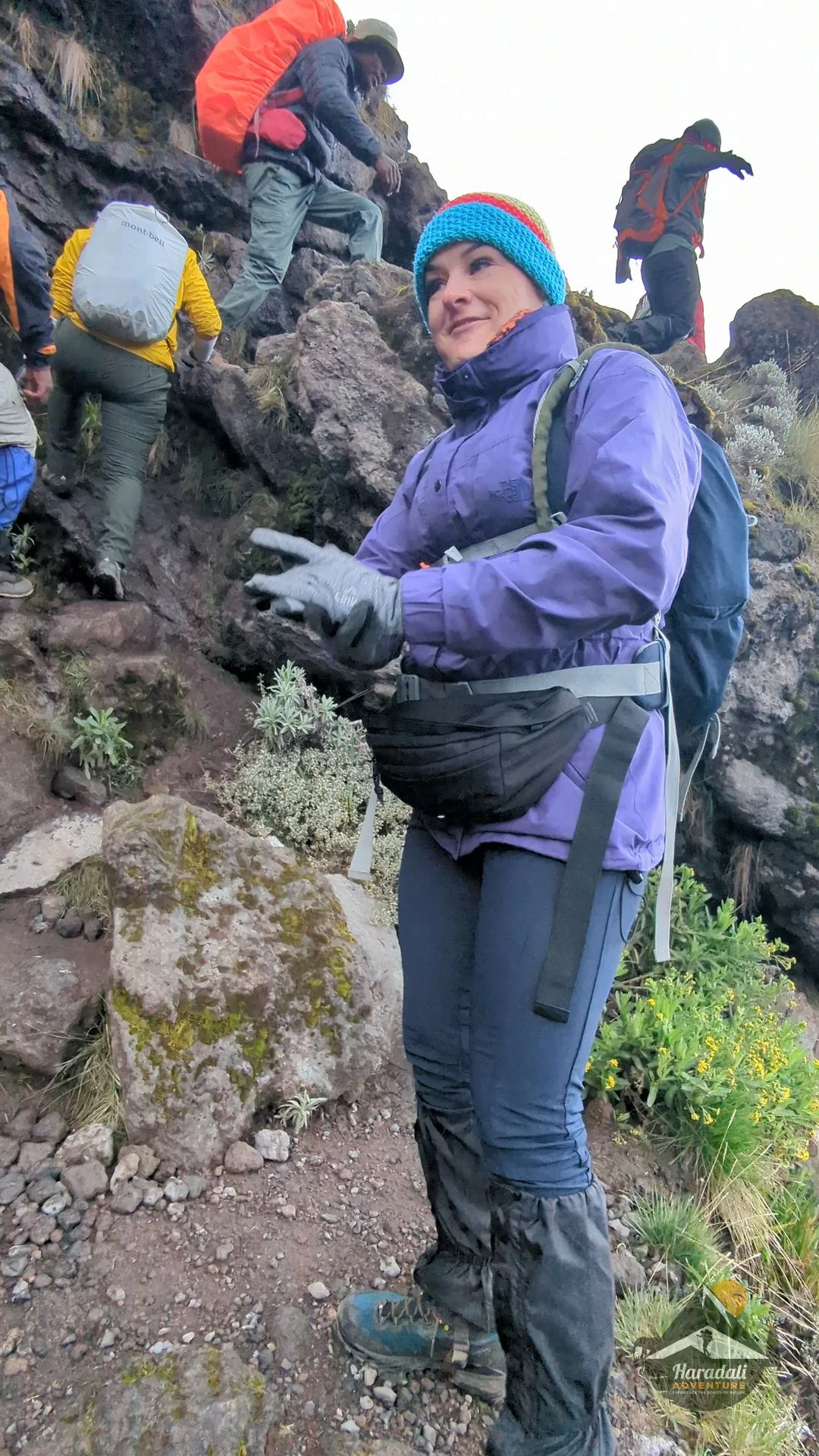
- Heath and Moorland (2,800m - 4,000m): Heather scrub, wild lobelias, and giant groundsels (Dendrosenecio kilimanjari).
- Alpine Desert (4,000m - 5,000m): Arid volcanic rock, sparse vegetation, extreme temperature shifts between night and day.
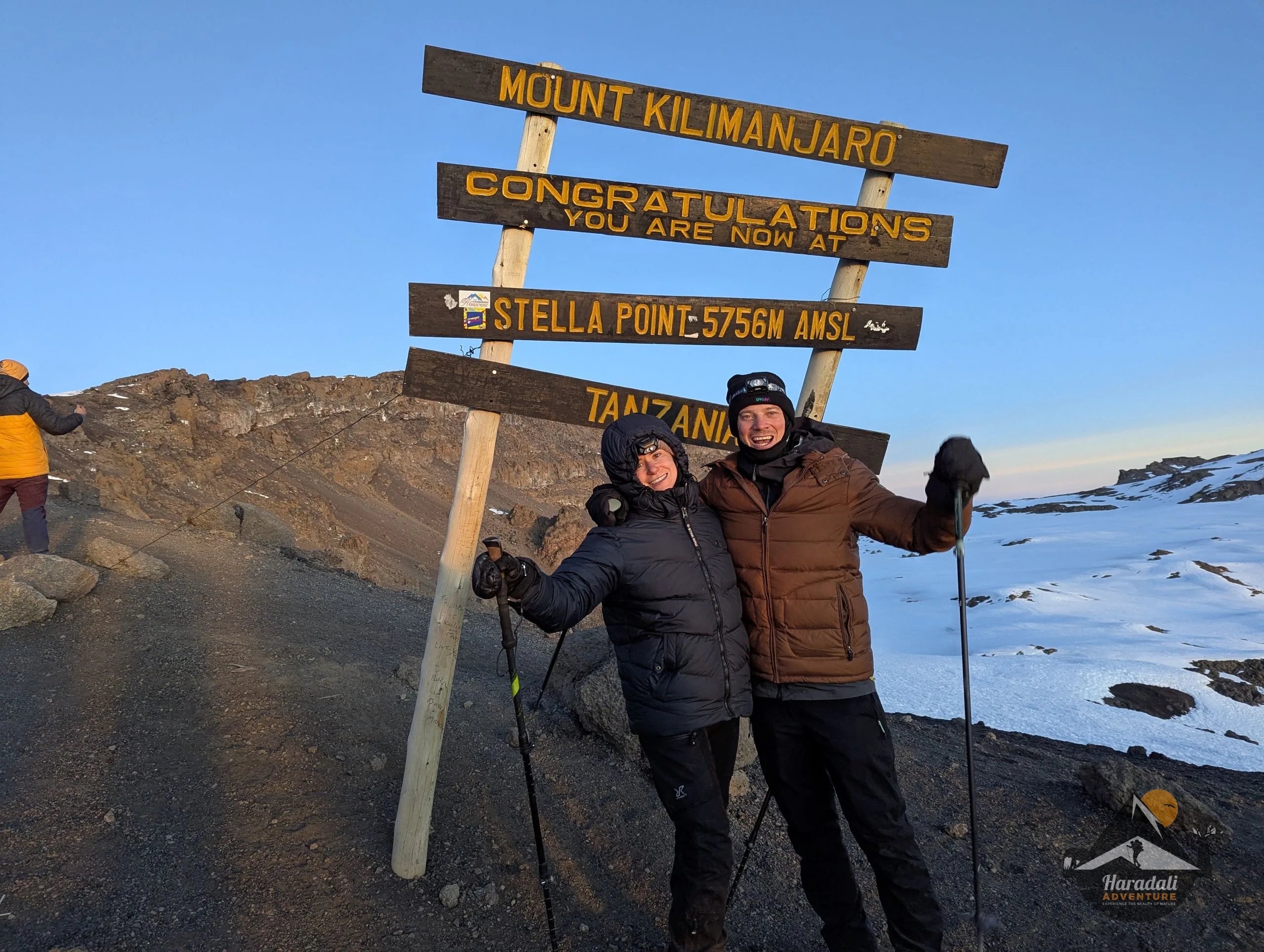
- Arctic Summit Zone (5,000m - 5,895m): Scree slopes, perennial glaciers, the caldera rim, and Uhuru Peak.
Official Climbing Routes
KINAPA authorizes several scenic climbing routes, each offering distinct acclimatization profiles, terrain, and camping options:
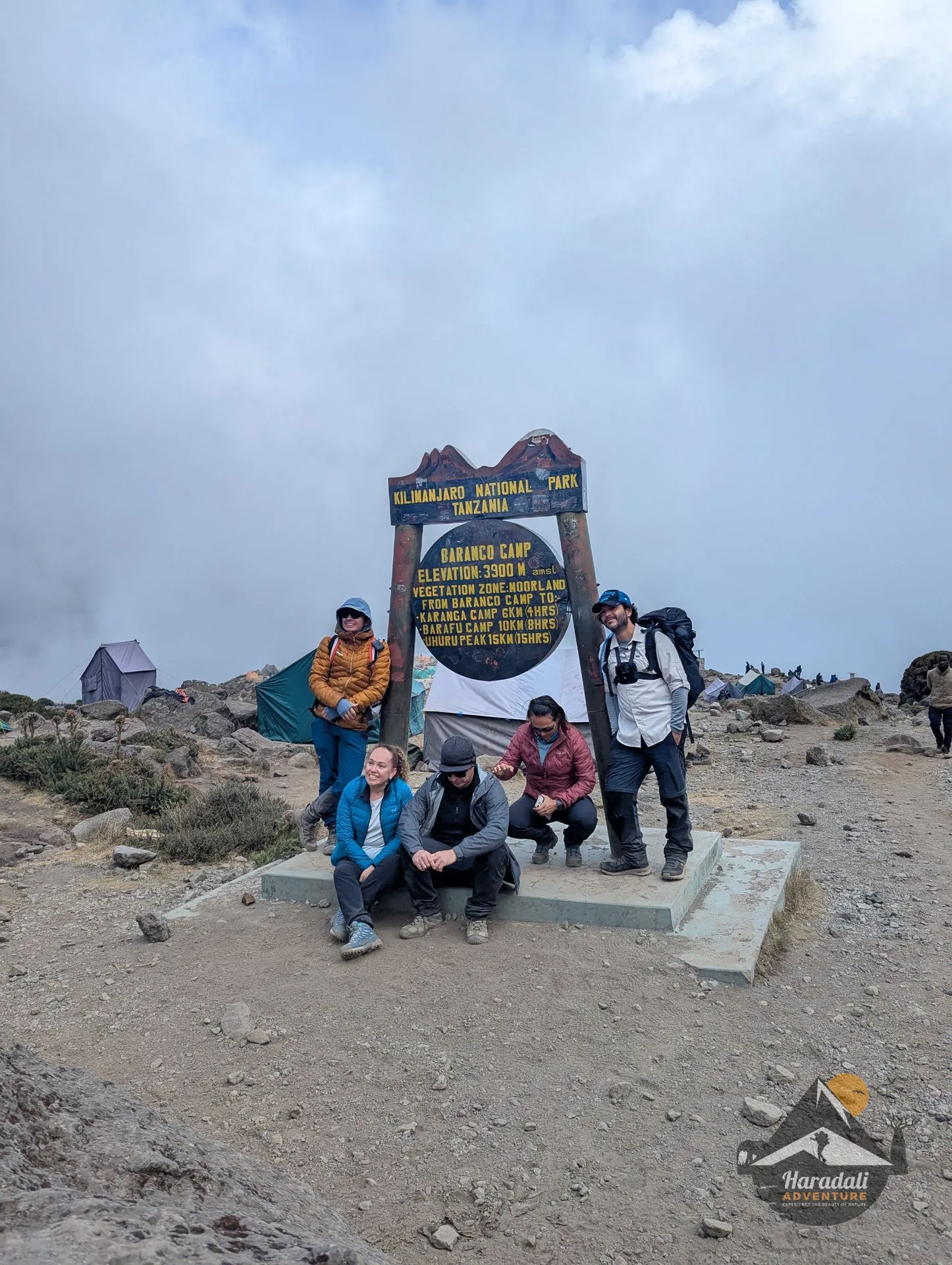
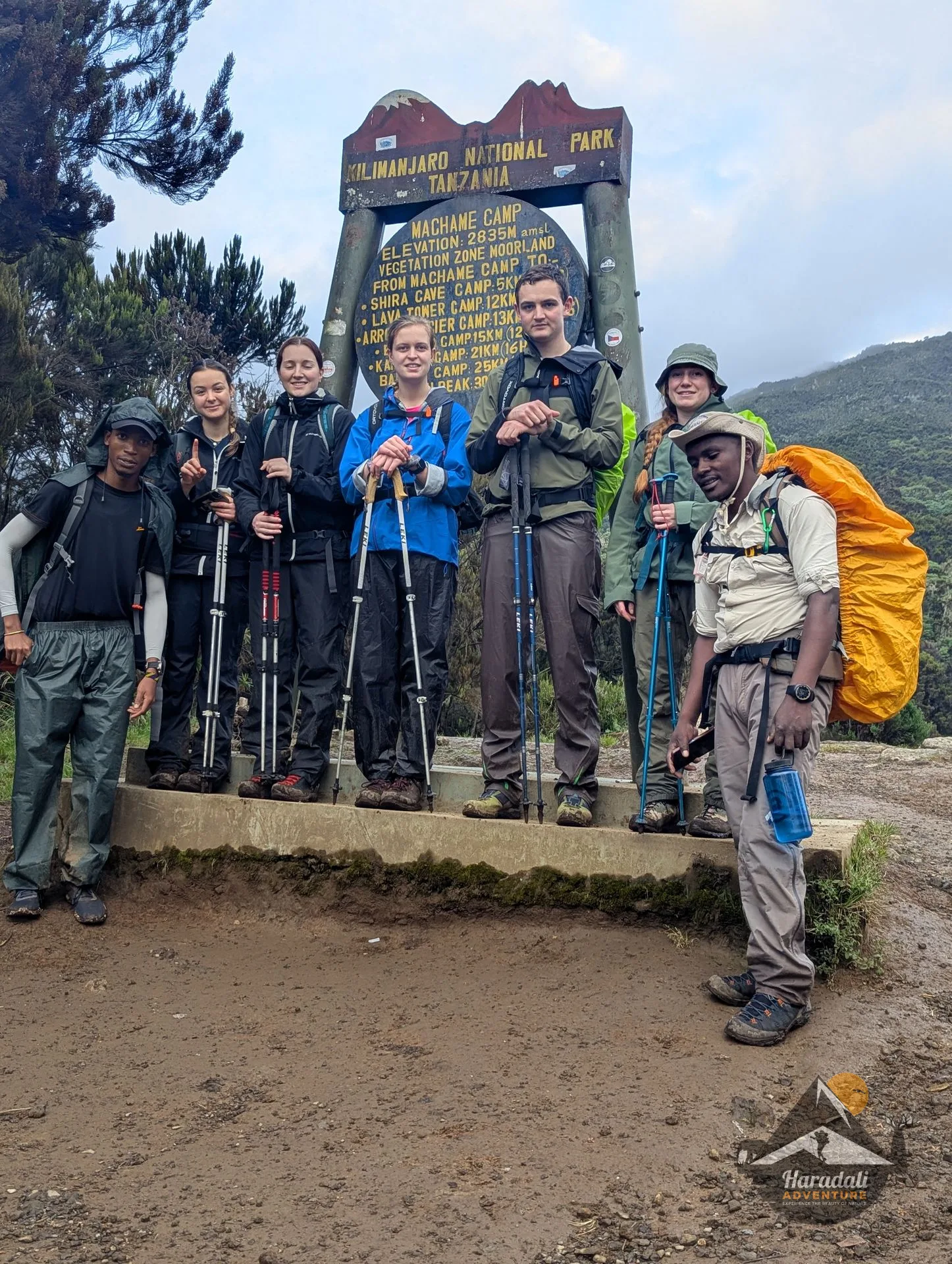
- Machame Route: Known as the "Whiskey Route", famed for scenic drama, the Barranco Wall, and the "climb high, sleep low" acclimatization rhythm.
- Lemosho Route: Pristine western approach traversing the Shira Plateau; offers the highest summit success rates over 7 or 8 days.
- Marangu Route: The classic "Coca-Cola Route", the only trail offering comfortable A-frame wooden sleeping huts with solar lighting.
- Rongai Route: Gentle northern approach starting near the Kenyan border, with drier microclimates during shoulder seasons.
- Northern Circuit: The longest and most remote trail (9 days), circling the entire northern amphitheater of Kibo with virtually untouched wilderness.